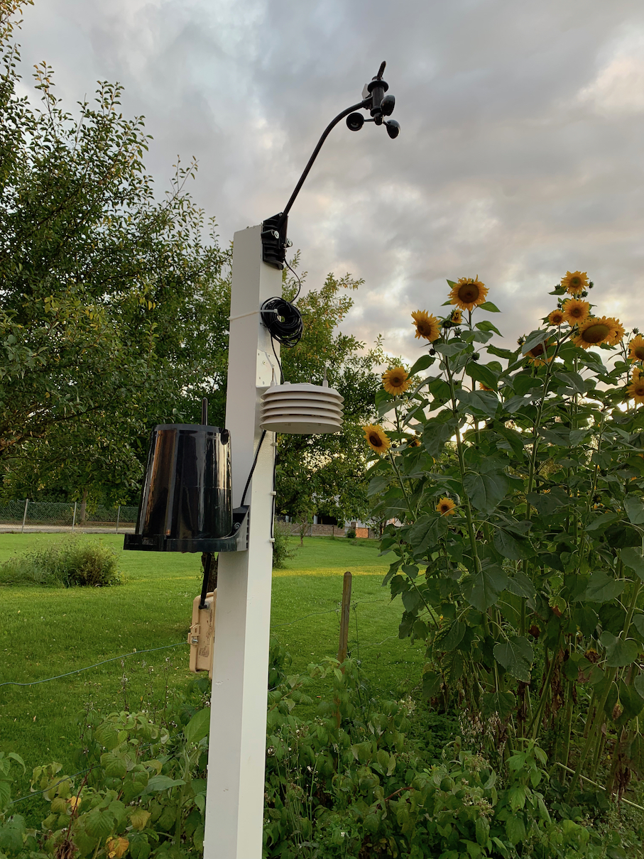
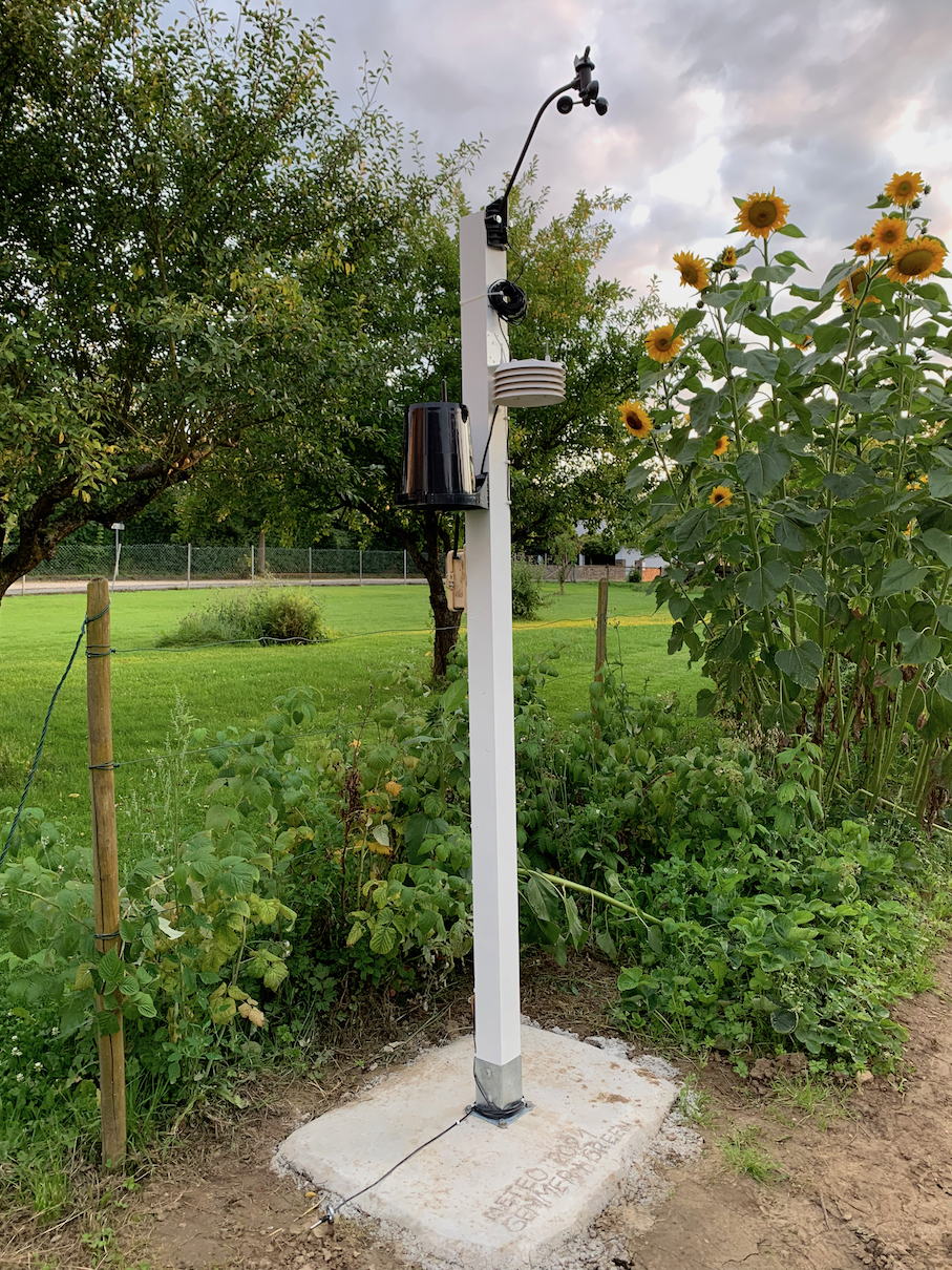
Das Thermometer und der Feuchtigkeitssensor befinden sich 2 m über dem Boden, der Windsensor befindet sich 2,5 m über Grund.
Am Standort der Wetterstation können die internationalen Standards für meteorologische Messfelder nicht eingehalten werden, keine regelkonforme Aufstellung nach WMO-Norm ( World Metorological Organization) möglich.
Alle Daten ohne Gewähr für Richtigkeit und Vollständigkeit! Bitte treffen Sie keine Entscheidungen aufgrund der hier präsentierten Daten!
English version:
The thermometer and humidity sensor are 2m above the ground, the wind sensor is 2,5 m above the ground
Depending on the location of the weather station, international standards for meteorological measuring fields cannot be met, no WMO (World Metorological Organization) rule-compliant design possible.
All data without guarantee for correctness and completeness! Please do not make any decisions based on the data presented here!
In Betrieb seit: 2021-08-20 (1706 days)

|

|
Console - 3xAAA batteries, ISS one CR123A Lithium Battery |

|
2000 records |

|
Temperature and Humidity: ca every 10s
Wind: every 2,5s
|

|
Meteobridge Nano SD |

|
FritzBox, DSL |

|
Meteotemplate
|

|
Mobotix M12 D43 N43 DayNight, view to the West-Southwest
https://miehlenwetter.de/webcam/Aktwx6.jpg
|
|

|
The indoor thermometer is part of the indoor console.
Range: 0 °C - 50 °C
Resolution: 0.1 °C
Accuracy: +/- 0.2 °C
|

|
The indoor humidity sensor is part of the indoor console.
Range: 0% - 100 %
Resolution: 0.1 %
Accuracy: +/- 1 %
|

|
Outdoor measured with 24h-fan aspirated Shield in 2m height
Outdoor Temperature (sensor located in Integrated Sensor Suite)
Resolution and Units:
Current Data: 0.1°F or 1°F or 0.1°C or 1°C (user-selectable) °C is converted from °F rounded to the nearest 1°C
Range. . . . . . . . . . . . . . . . . . . . . . . .-40° to +150 °F (-40° to +65 °C)
SensorAccuracy ............................±0.5 °F(± 0.3 °C)
|

|
Outdoor measured with 24h-fan aspirated Shield in 2m height
Resolution and Units. . . . . . . . .1 %
Range. . . . . . . . . . . . . . .. . . . . . .1 to 100 % RH
Accuracy ................................. ± 2%
|

|
The indoor pressure sensor is part of the indoor console.
Resolution and Units:................. 0.01"Hg,0.1 mmHg,0.1 hPa/mb(user-selectable)
Accuracy:.................................. ±0.03" Hg (±0.8 mm Hg ,±1.0 hPa/mb) (at room temperature)
|

|
Wind Speed on the roof in ca. 10m height, 1,5m on top
Resolution and Units. . . . . . . . . . . . . . . . . . . . . . . . .1 mph, 1 km/h, 0.4 m/s, or 1 knot (user-selectable). Measured in mph, other units are converted from mph and rounded to nearest 1 km/hr, 0.1 m/s, or 1 knot.
Range. . . . . . . . . . . . . . . . . . . . . . . . . . . . . . ..... . . . .0 to 200 mph, 0 to 173 knots, 0 to 89 m/s, 0 to 322 km/h
Update Interval . . . . . . . . . . . . . . . . . . . . . . . . . . . . . Instant Reading: 2.5 to 3 seconds, 10-minute Average: 1 minute
Accuracy ..............................................................±2 mph (2kts,3.2 km/h,0.9m/s) or ±5%,which ever is greater
|

|
Wind direction on the roof in ca. 10m height, 1,5m on top
Range. . . . . . . . . . . . . . . . . . . . . . . . . . . . . . . . . . . .1 - 360°
DisplayResolution ...............................................16 points (22.5°) on compass rose,1°in numeric display
Accuracy .............................................................±3°
|

|
Standard Davis Rain-Gauge with metric adapter separately mounted on ca. 1.7 m height over ground, actual average Distance from the next growth 2,00m in the west
Resolution and Units......................................0.01" or 0.2 mm (user-selectable) (1mm at totals >= 2000 mm)
Daily/StormRainfallRange..............................0 to 99.99"(0 to 999.8 mm)
Monthly/Yearly/TotalRainfallRange................0 to199.99"(0 to 6553 mm)
Accuracy .......................................................±4%, ±1 rainfall count between 0.01" and 2.00" per hour (0.2 mm and 50.0 mm per hour); ±5%, ±1 rainfall count between 2.00" and 4.00" per hour (50.0 mm and 100.0 mm per hour)
|

|
Soil Temperature in +5cm height over Ground |
|


")


")
")

")
")

")
")
")

")

")


")
")
")
")


")
")

")
")